NGA
Deception Island to King George Island
1980
The National Geospatial-Intelligence Agency (NGA) is a combat support agency under the United States Department of Defense and a member of the United States Intelligence Community, with the primary mission of collecting, analyzing, and distributing geospatial intelligence (GEOINT) in support of national security. NGA was known as the National Imagery and Mapping Agency (NIMA) until 2003.
NGA headquarters, also known as NGA Campus East, is located at Fort Belvoir North Area in Virginia. The agency also operates major facilities in the St. Louis, Missouri area, as well as support and liaison offices worldwide. The NGA headquarters, at 2.3 million square feet (214,000 m2), is the third-largest government building in the Washington metropolitan area after The Pentagon and the Ronald Reagan Building.
In addition to using GEOINT for U.S. military and intelligence efforts, the NGA provides assistance during natural and man-made disasters, and security planning for major events such as the Olympic Games.
In September 2018, researchers at the National Geospatial-Intelligence Agency released a high resolution terrain map (detail down to the size of a car, and less in some areas) of Antarctica, named the “Reference Elevation Model of Antarctica” (REMA).
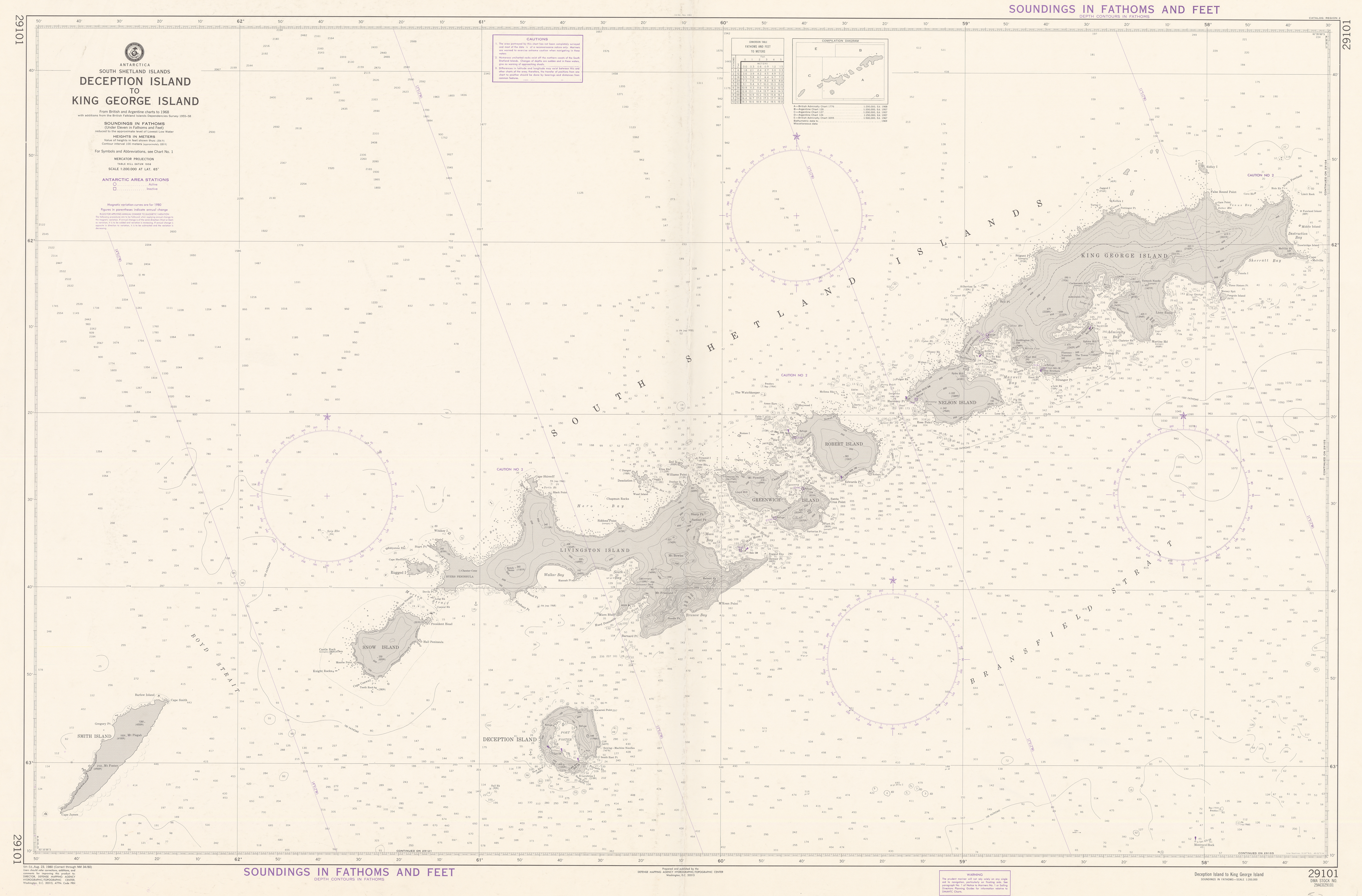
Lieu: Antarctica
Scale: 1:200’000
Projection: WGS72 Mercator Projection
Orientation: True North
Publié: Août 2018
Catégorie: Cartographie