USGS
Mount Rabot
1970
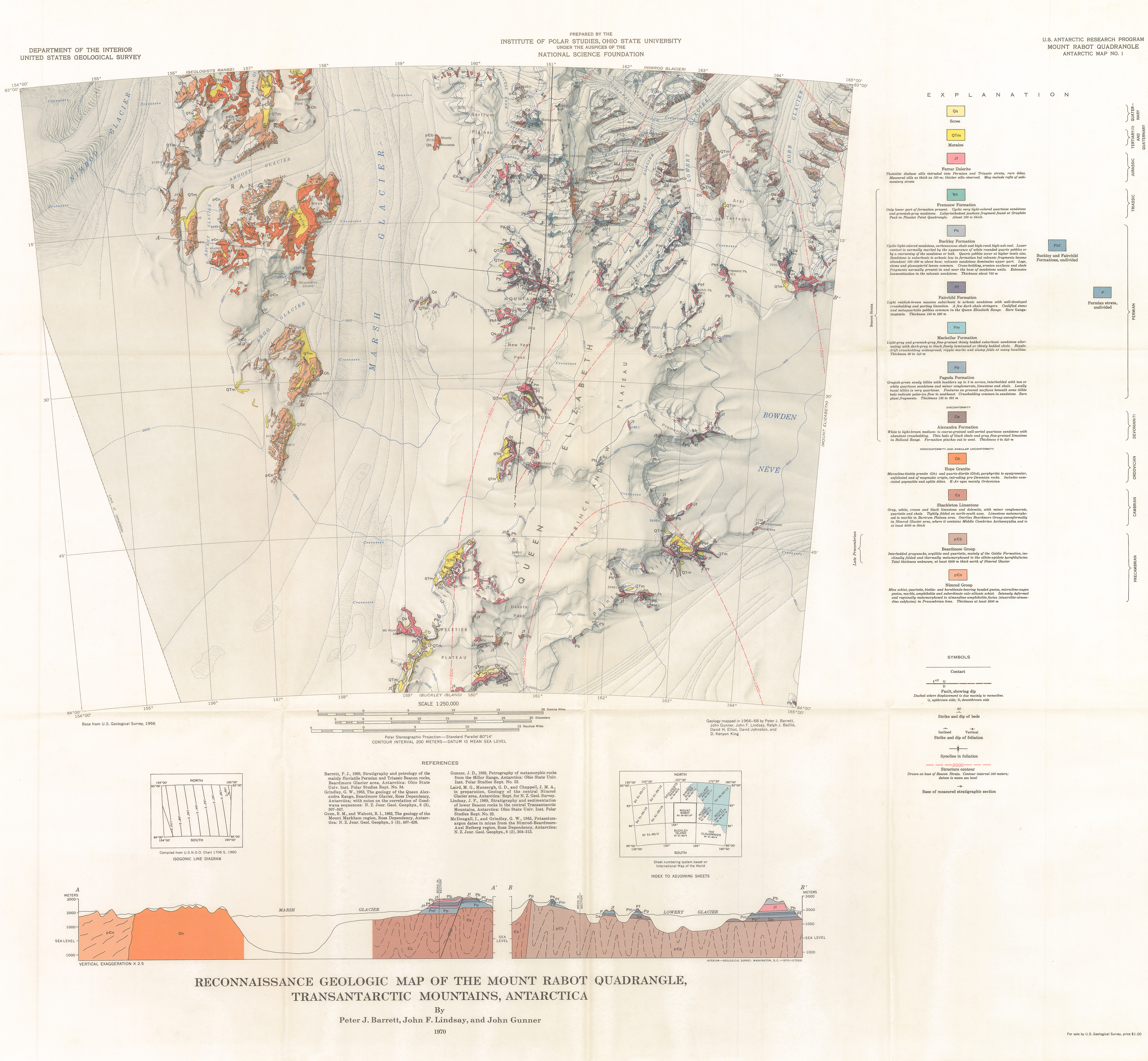
83°20'00.0"S 161°30'00.0"E
Lieu: Queen Elizabeth Range, Antarctica
Publié: Novembre 2018
Catégorie: Cartographie
Lieu: Queen Elizabeth Range, Antarctica
Authors: Barrett - Lindsay - Gunner
Scale: 1:250’000
Projection: Polar Stereographic Projection - Standard Parallels -80°14’
Orientation: True North
Publié: Novembre 2018
Catégorie: Cartographie