USCS
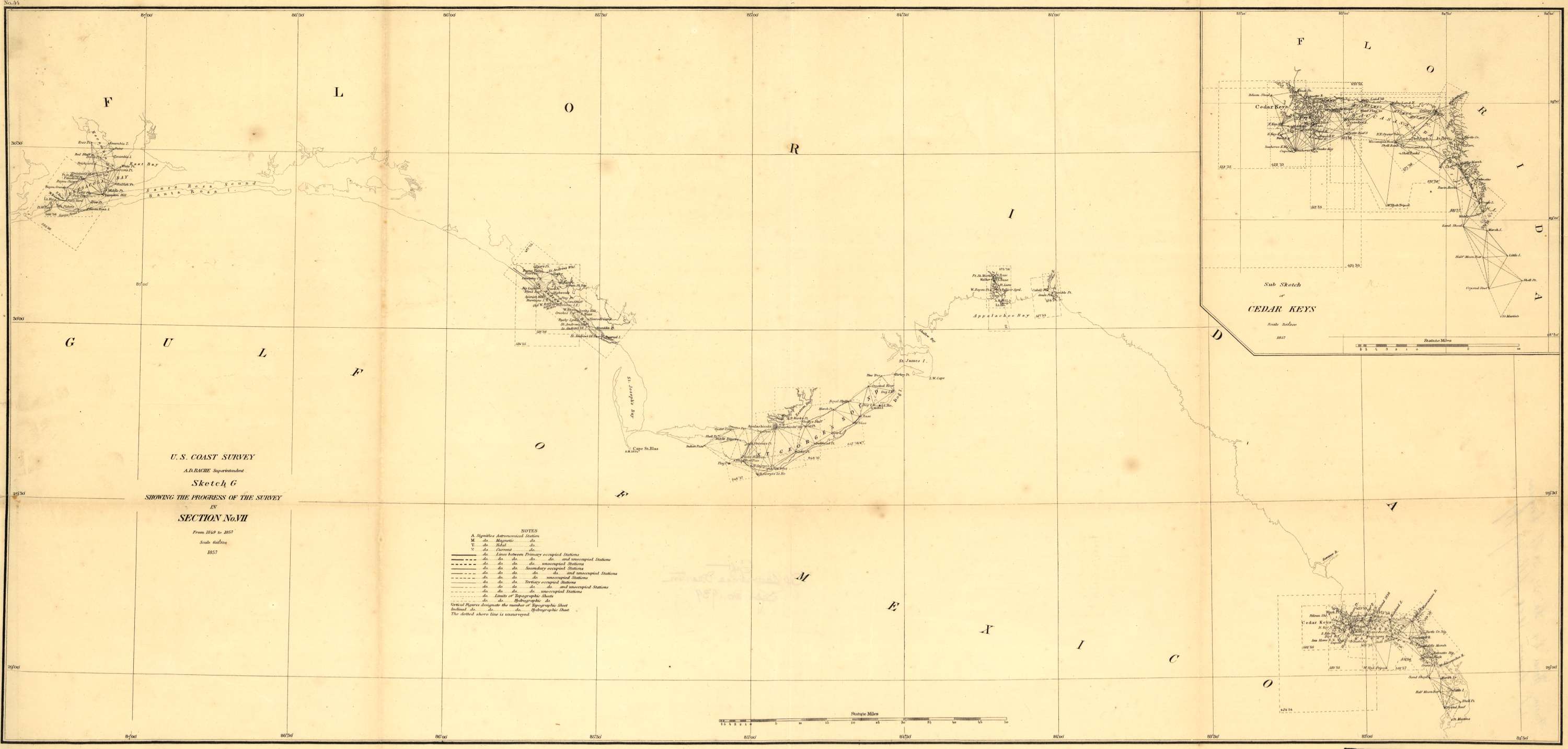
Preliminary chart of the Gulf of Mexico
1861

25°00'00.0"N 90°00'00.0"W
Lieu: Gulf of Mexico
Publié: Décembre 2018
Catégorie: Cartographie
Lieu: Gulf of Mexico
Author: U.S. Coast Survey, A. D. Bache, Supdt.
Information: LC Civil War Maps (2nd ed.), 17.75
Scale: 1:600’000
Collection: Library of Congress
Publié: Décembre 2018
Catégorie: Cartographie