Jonathan Lovekin
Infrastructure un-plugged
2015–2016
In the year leading up to the millennium it was feared that a computer bug could create global technological chaos on an enormous scale following the breakdown of computers in every sector from banking to medicine to military controls.
In February 1999, the International Y2K Cooperation Center (IY2KCC) was created under the auspices of the United Nations with funding from the World Bank to promote increased strategic cooperation and action among governments, peoples and the private sector to minimize adverse effects of the Millennium Bug on the global society and economy. In Bulgaria such a regional center was created specially to monitor the countries in central and Eastern Europe and central Asia. Particular precautions were taken to assure the performance of nuclear power plants, both in the East and the West, as they depend on external events and interfaces with electrical power systems, telecommunication systems, and other supporting infrastructures.
Preparations were under way across the world: an estimated $400-600 billion were invested to fight a potential error that occurred in digital documentation and data storage systems when a four-digit number was reduced to two digits, due to the fact that when computers were built in the 1960s, years such as 1998 were denoted as 98 to save memory (214).
Warnings about what would happen if computer programs represented the year 2000 as 1900 steered apocalyptic technophobia and end-of-the-world prophecies. Even the United States Deputy Secretary of Defense, John Hamre, in 1999 described the Y2K problem as “the electronic equivalent of the El Niño and [that] there will be nasty surprises around the globe.”
Scientists tried to update these data structures in good time. It was a manageable task for programmers, and yet, precautions were taken. On the day of the transition, seaports were locked, planes were grounded, ATM machines were closed, surgeries postponed, roller coasters in fun parks remained stationary, the monitoring systems of nuclear power plants were closely supervised and nuclear missiles were taken off “hair-trigger alert”. To prevent a worst-case scenario scientists, politicians and policy-makers managed to switch off an enormous global digital infrastructure network.
Even if not completely, and only for a few hours, the wires and nodes that held global digitized networks together were tied up. The united efforts to tackle the threat from automated machines and robots that were conceived at a time when the year 2000 seemed like a utopian dream, presented a remarkable episode that still offers spatial activists and environmentalists assurance that it is possible to challenge the immanent destruction within pervasive global data systems.
As such, the “power cut” was also a moment of record taking. The International Atomic Energy Agency oversaw 425 nuclear power plants that were in operation in thirty-one countries worldwide advising on intensive diagnostic and corrective activities that had to be conducted to “find and fix” their Y2K software and equipment problems, supplemented by contingency plans. The bug suddenly managed to create a universal enemy—an imagination that embraced the vulnerability of the entire world, connecting the ecological and the digital, bites and atmosphere. The episode corresponded to a previous moment, just twenty-eight years earlier, in which a photograph of the Earth—catalogue number AS17-148-22727—was captured by NASA’s Apollo 17 crew on December 7, 1972. Laura Kurgan writes about the public impression of the first image of Blue Marble: “The 1972 photograph, no doubt because it both offered the viewer the whole Earth and seemed to remove any viewer from the picture, became perhaps even more of an icon, not only of totality and unity but likewise singularity and freestanding vulnerability (216).”
In its own way it combined the digital image with analog Earth. In 2016, 438 electric nuclear generators were in operation worldwide and sixty-seven new nuclear plants are under construction in fifteen countries. A network of potential disaster hubs spans the globe, they exist among us, while usually out of our sight. The enormous power they are able to generate feeds a huge energy network that sets in motion both a material and immaterial infrastructure. Data flows entangle humans and nature into an informational complex.
Nature has already lost its “wildness” and “inviolacy”, it has become man-made, while human decision making is being replaced by faster, more reliable and efficient semi and fully autonomous robots and machines that manage and negotiate data that in turn shape contemporary global infrastructures. Information flows of financial, legal or military nature congeal into a wide array of strange “spatial products”, extraterritorial “zones” and building nodes.
Keller Easterling describes this “infrastructure space” itself as a medium of information: “The information resides in invisible, powerful activities that determine how objects and content are organized and circulated. Infrastructure space, with the power and currency of software, is an operating system for shaping the city (217).” Today, every bit of landscape has to be suspected of being in some ways under the control of a machine. Connected through the ground, the air, through wires, radiation, fluids or dust particles, infrastructural systems, technologies and natural world intersect in an aggressive and destructive way.
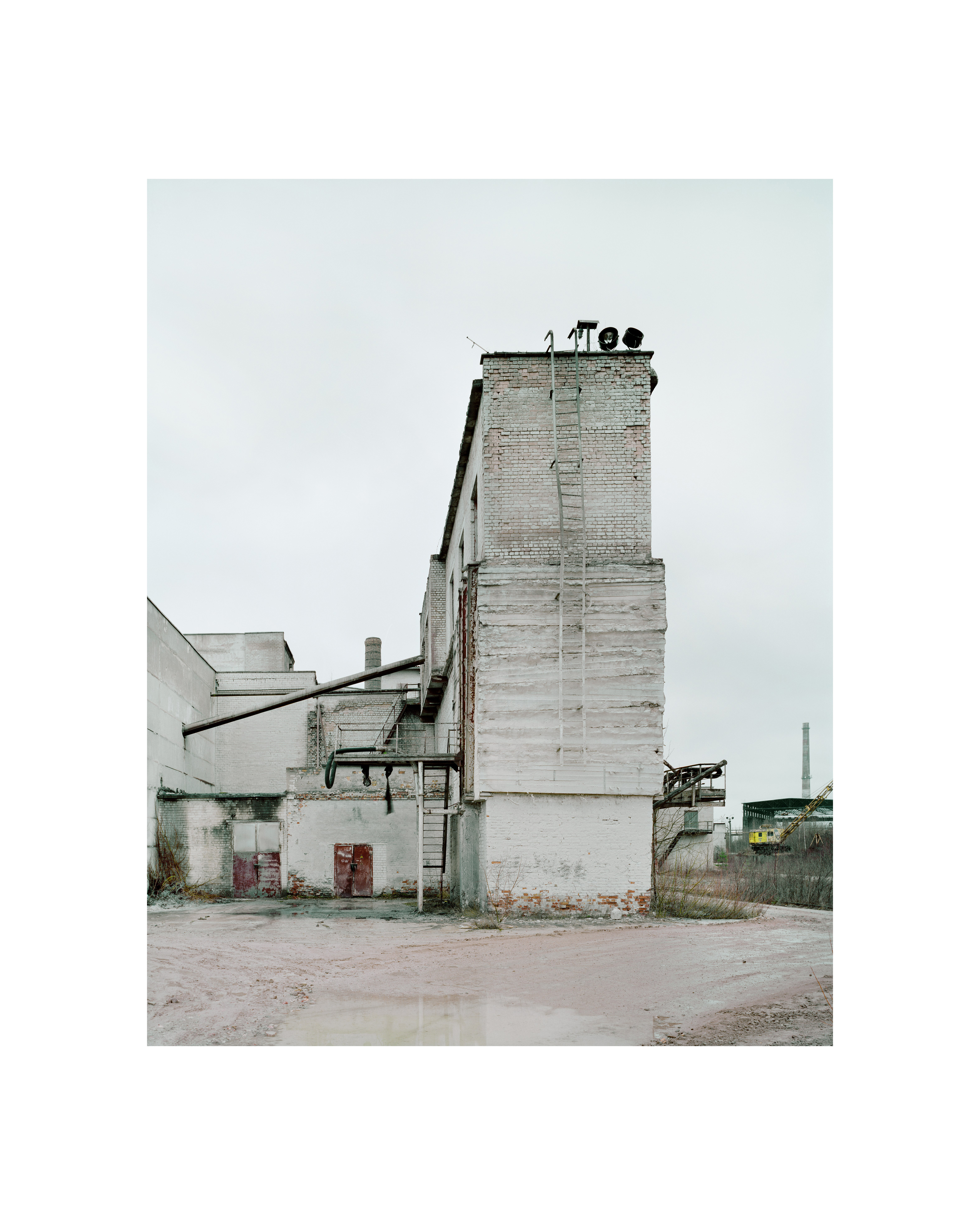
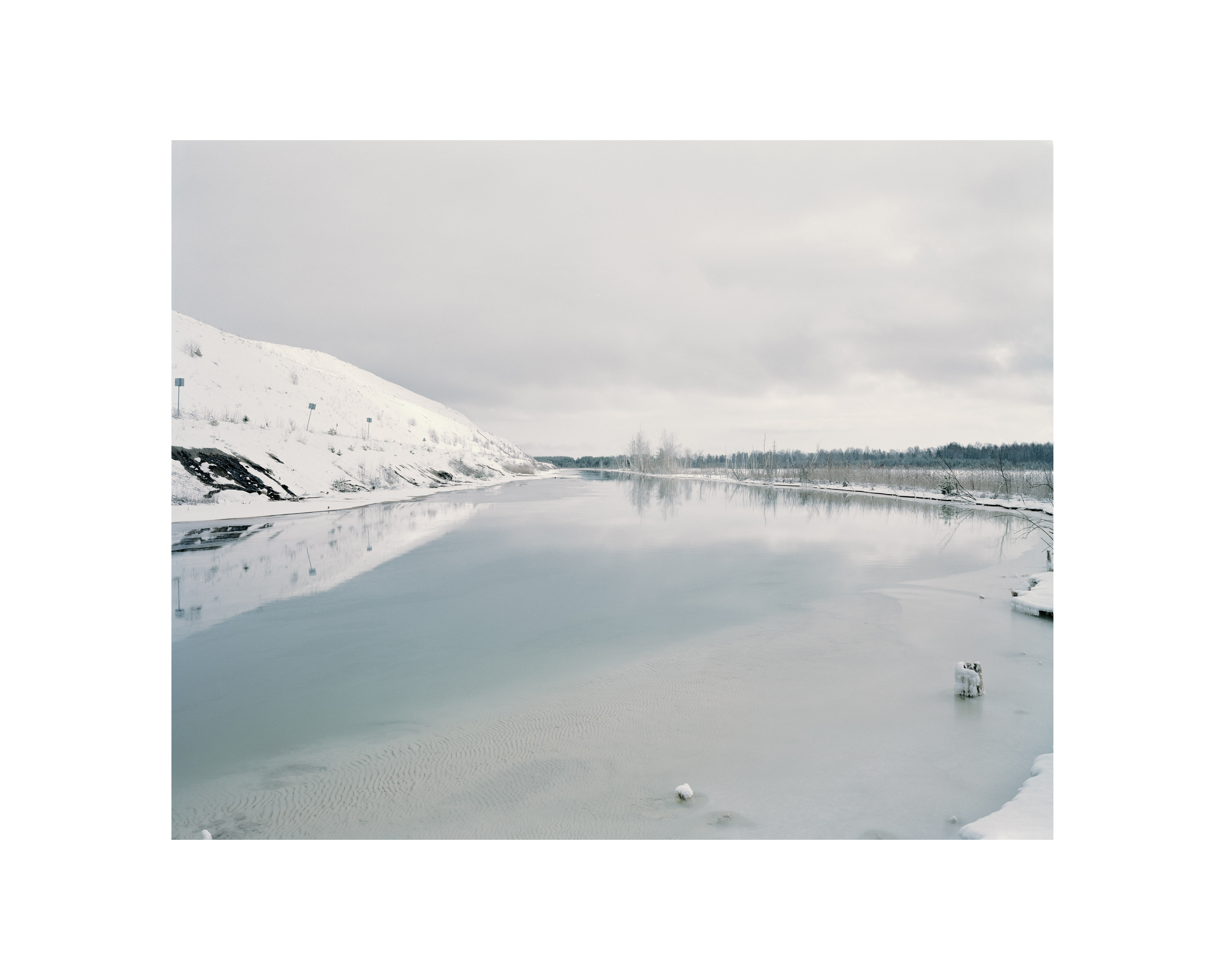
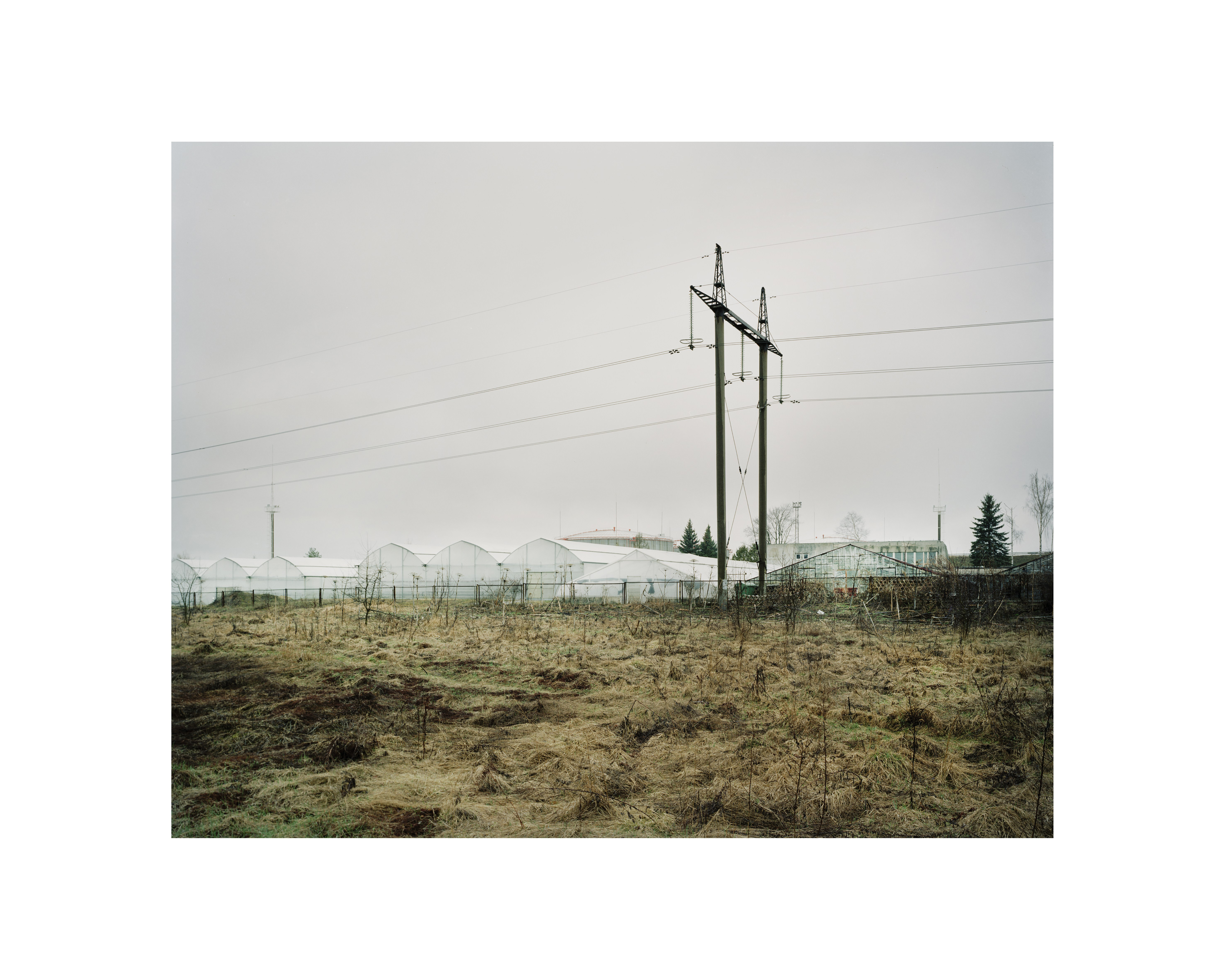
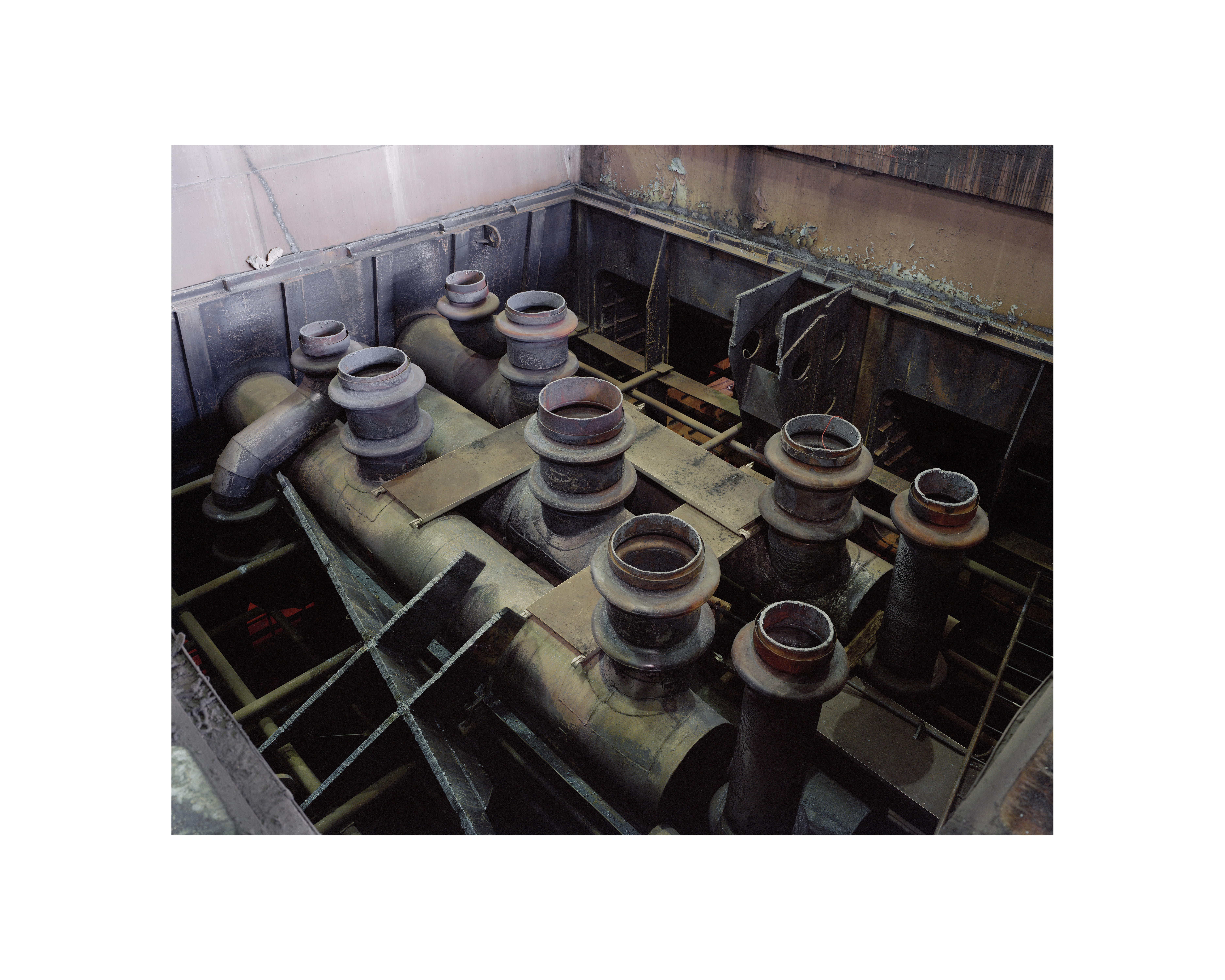
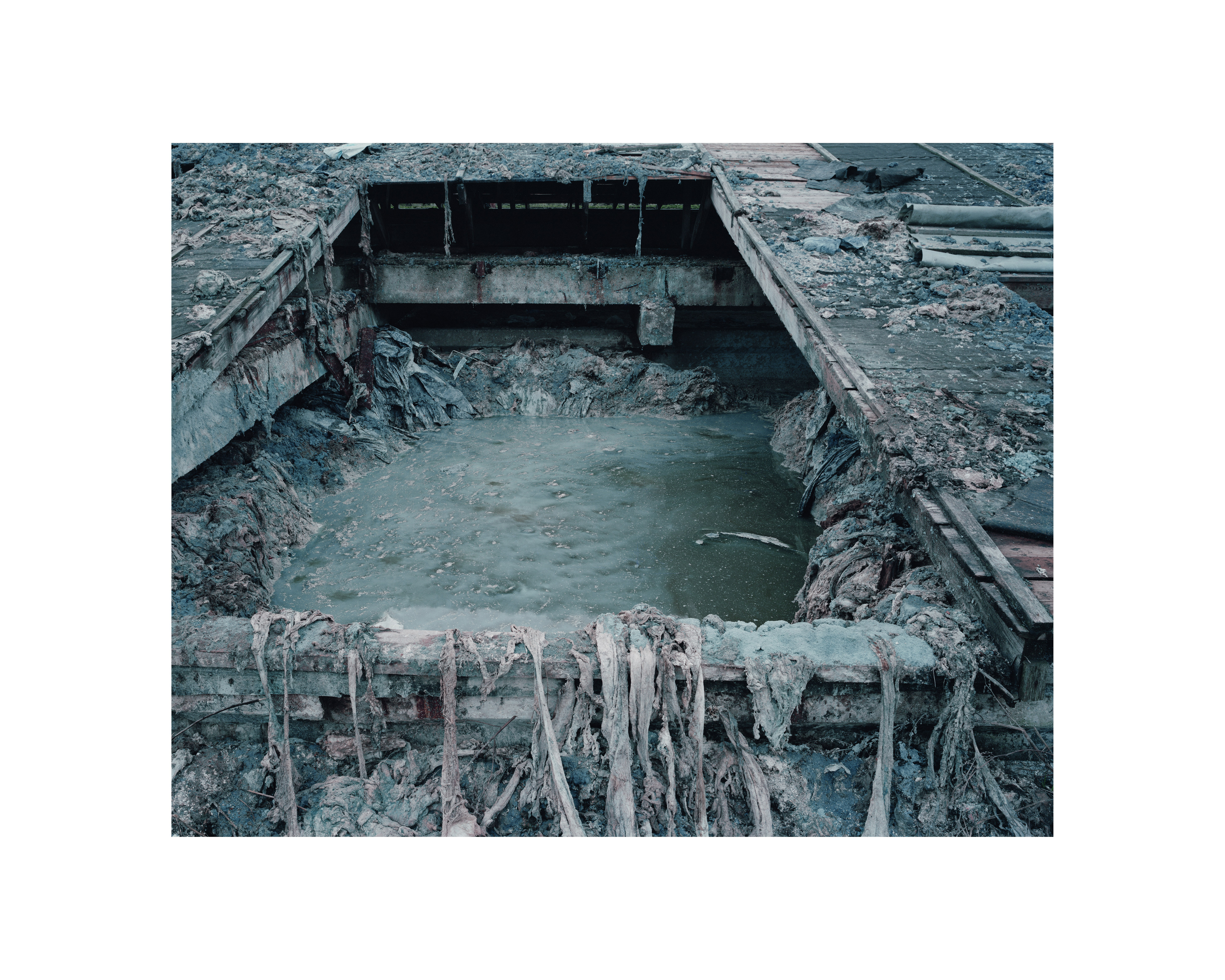
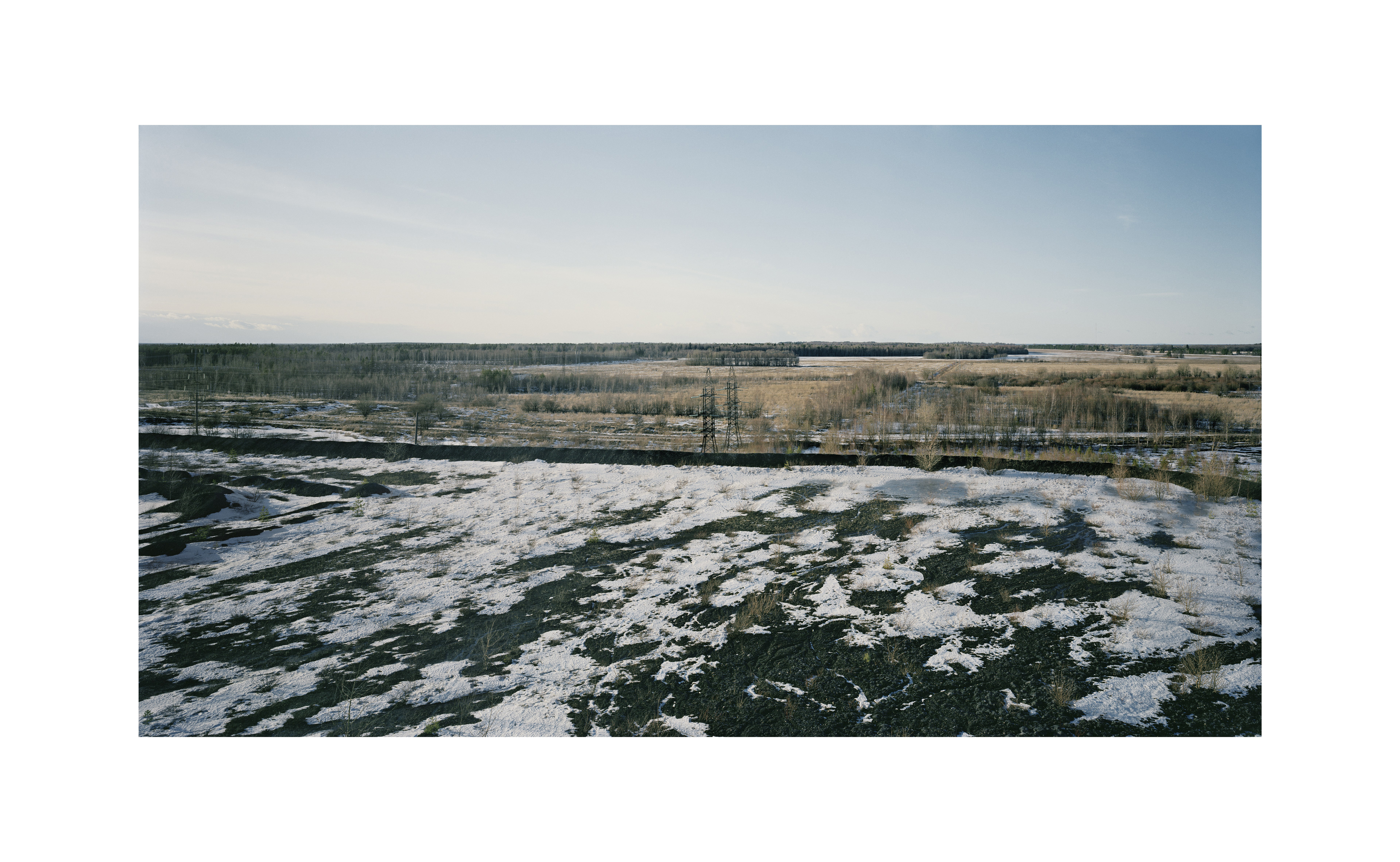
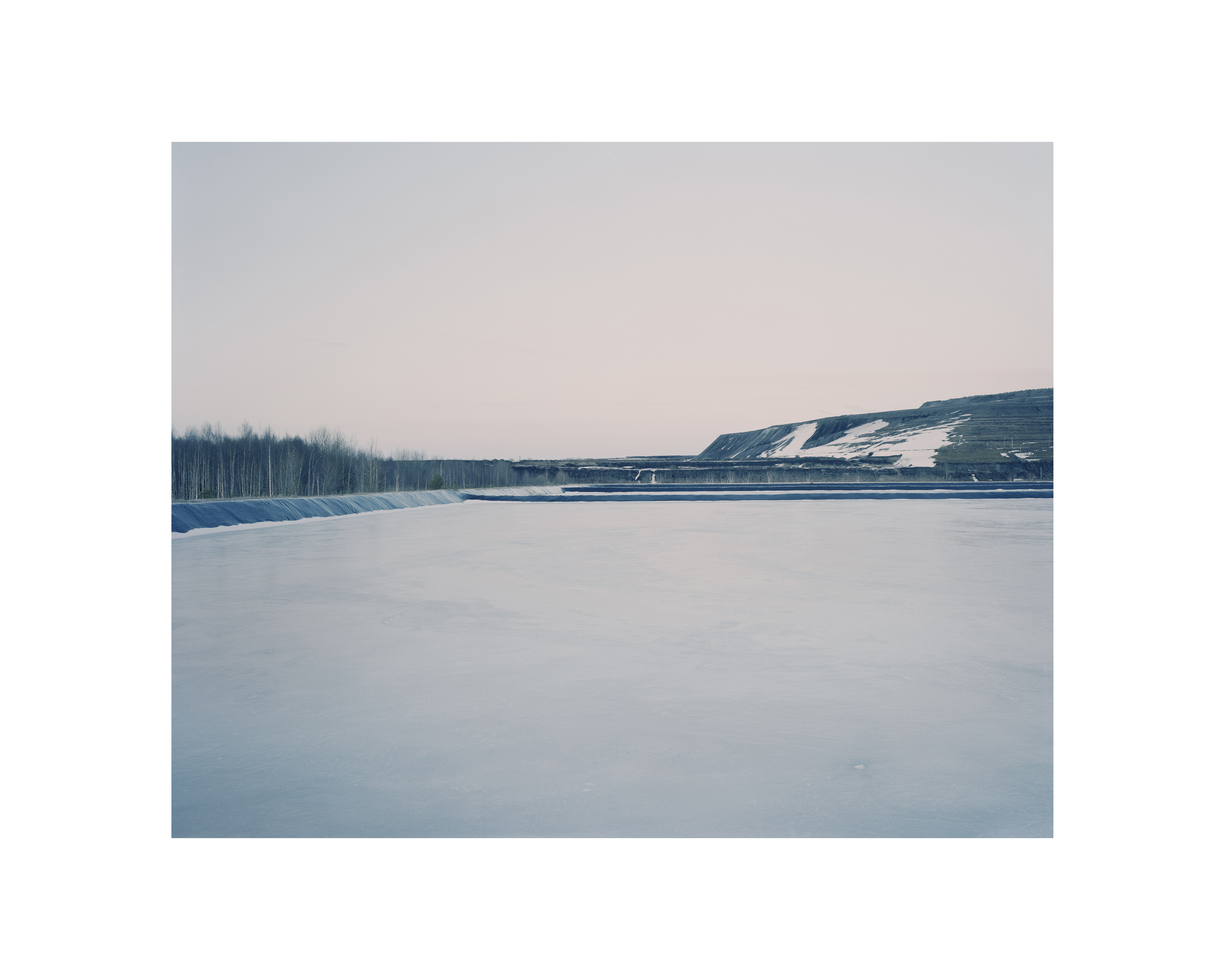
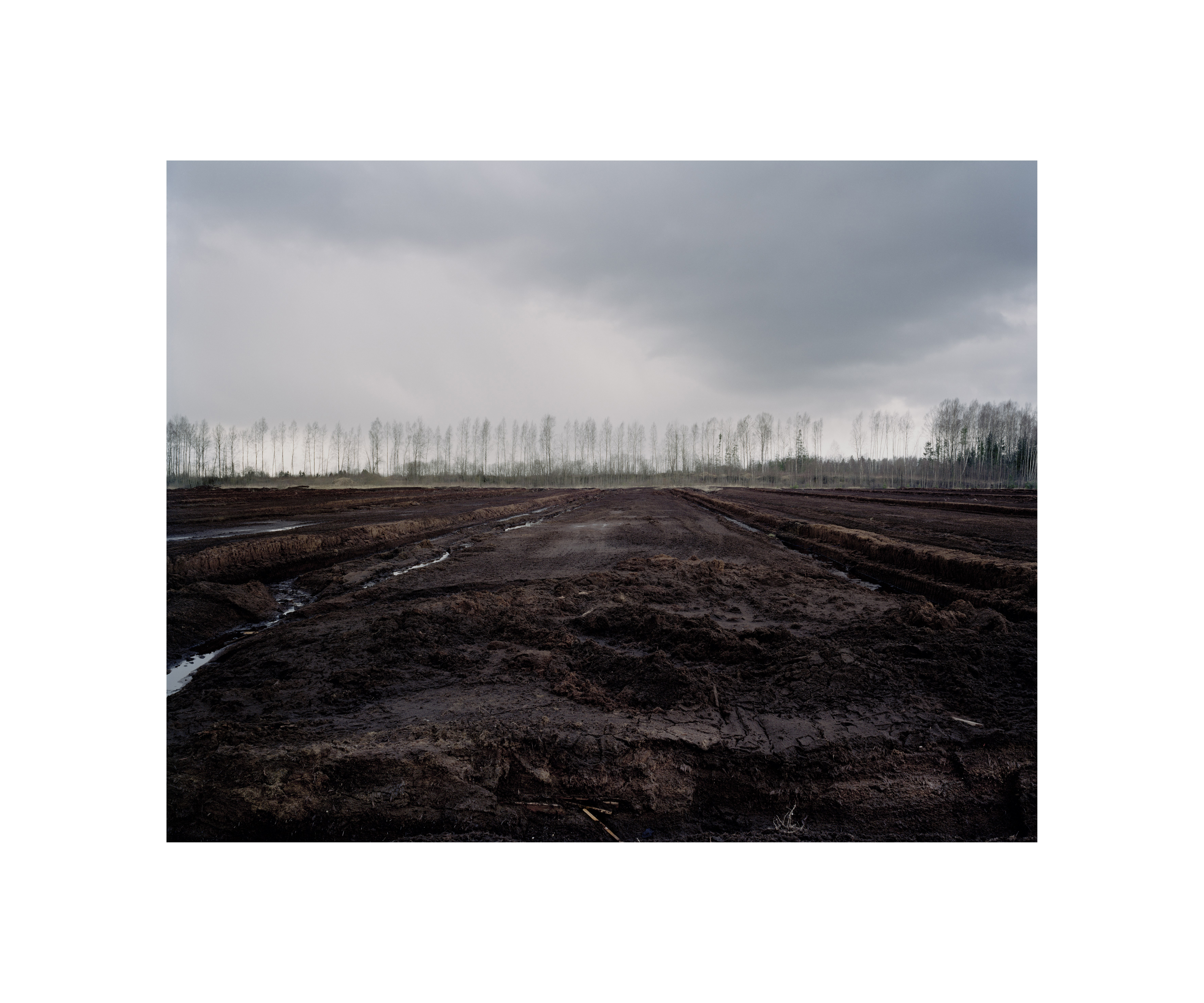
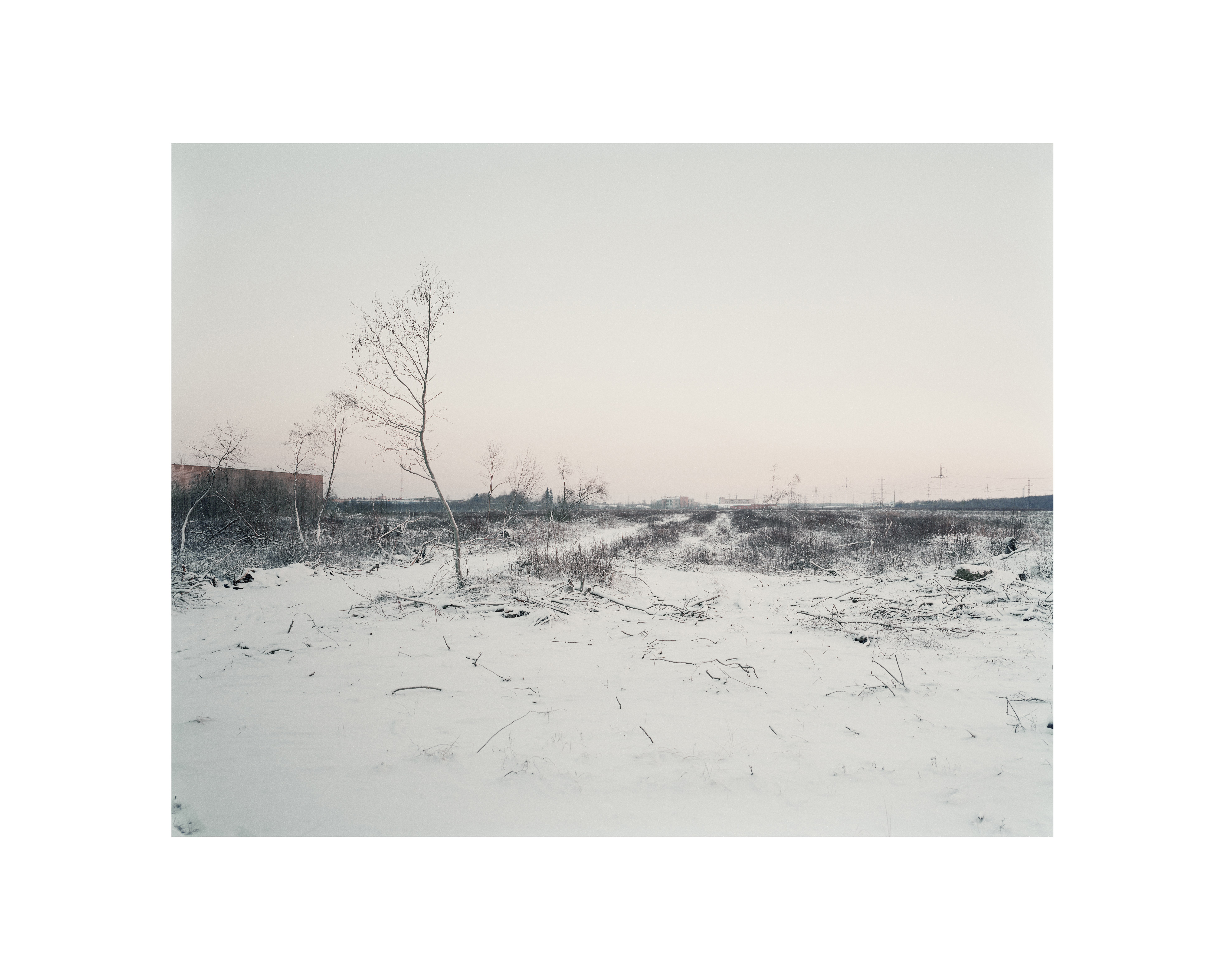
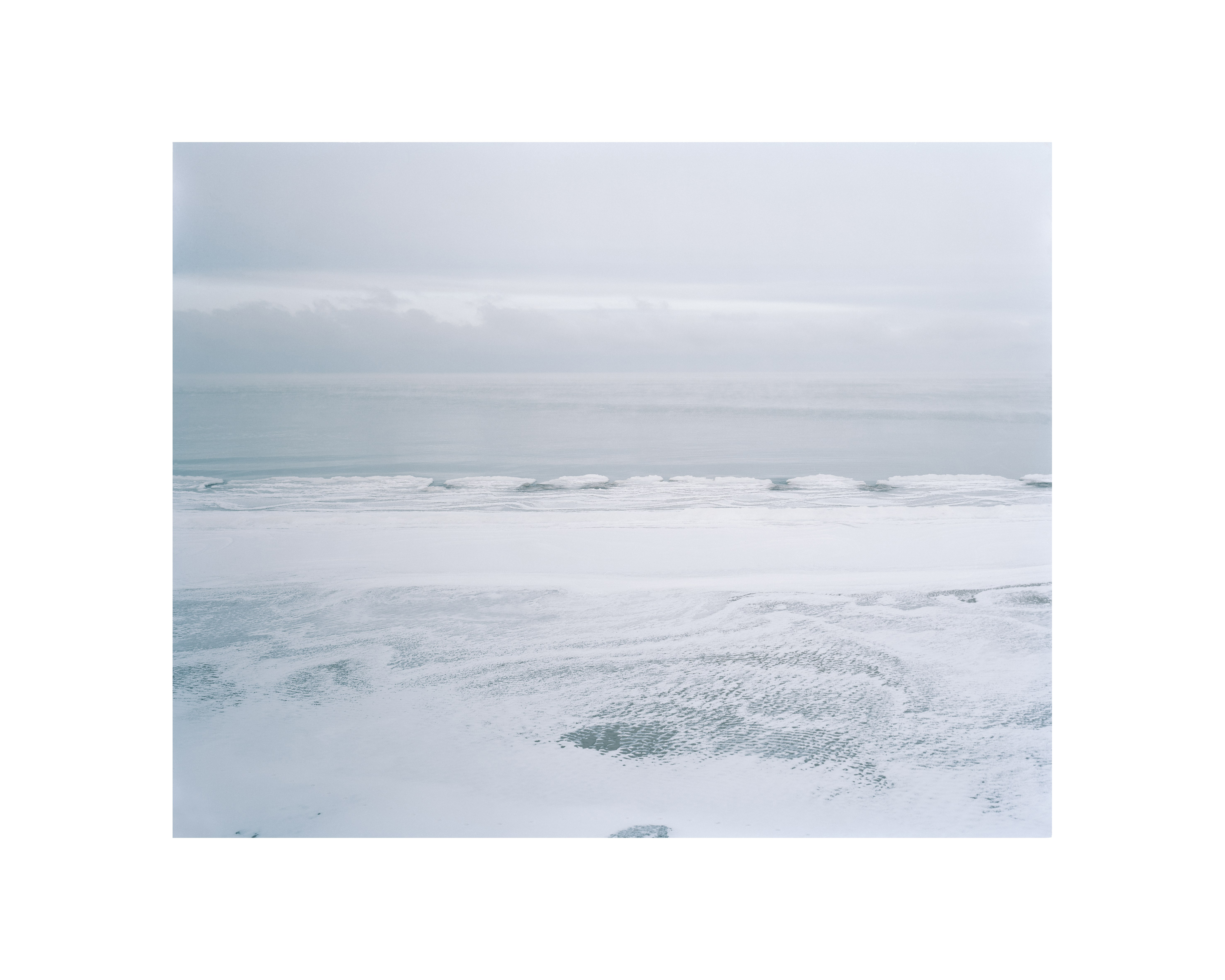
The London based photographers David Grandorge and Jonathan Lovekin set out for Lithuania, Estonia and Latvia to research a region—the Baltics—that since the political upheavals of 1989 underwent far-reaching transformations during which the region gained renewed significance and new cultural allies. Their photographs document a critical understanding of material processes and fossils that derived from a complex dynamic infrastructure of industries, transport logics, urban waste and demand.
The Baltics are historically shaped by a multiplicity of actors and a plurality of spaces that do not necessarily overlap. Researching and identifying their boundaries and meanings requires exploratory methods and alertness to almost imperceptible symptoms. To be clear, these photographers are not the type of people who mean to “capture” a site. In addition, they are not necessarily thrilled by current photographic tropes, such as images of decay in the former socialist countries of Eastern Europe. They are not reading their objects and landscapes as a return to a world that “in the West has already long gone and here is still fully intact”—a connotation for which color photography can at points be misunderstood.
Buildings decorated with propaganda paraphernalia, housing estates in prefabricated panels typical of 1970s and 1980s planning in socialist countries, factories, industrial sites and sublime scenes of large man-made mountains piling up excavation materials—for Grandorge and Lovekin these do not represent the sites of past infrastructures unplugged from power. They are not taking us back into the future of the past, into a nostalgic—that is, wrongly-remembered—utopia.
Rather, the cables and wires of the objects and infrastructures in their photographs are live—still hot, still connected to the power circle, and still looming to be reinstated. Their gloomy vampirism only seems to hide the autism of animated matter.
The photographers ask for universal measures to be taken for understanding these manufactured landscapes by means of revealing the very objects within the infrastructure, as the nodes and hubs in which data and energy flows are produced, exchanged and distributed. As such, the photographic series in which they are investigated and documented represent pieces of an enormous puzzle, a map—or an atlas of sorts that offers the type of architecture that can represent the complex regional formation of the Baltics in which political, linguistic, ethnic, religious, economic, and social boundaries overlap. This map also seeks to open up the Baltic countries beyond the touristic representation of the region through healthy forests, lakes and freshly renovated historical city centers with colorful baroque buildings and catholic churches.