orthos logos
Atlas of Landsat I
2020
Excerpt from Le Petit Prince (Ch. 15) written by Antoine de Saint-Exupéry.
—
- Ce n’est pas le géographe qui va faire le compte des villes, des fleuves, des montagnes, des mers, des océans et des déserts. Le géographe est trop important pour flâner. Il ne quitte pas son bureau. Mais il y reçoit les explorateurs. Il les interroge, et il prend en note leurs souvenirs. Et si les souvenirs de l’un d’entre eux lui paraissent intéressants, le géographe fait faire une enquête sur la moralité de l’explorateur.
- Pourquoi ça ?
- Parce qu’un explorateur qui mentirait entraînerait des catastrophes dans les livres de géographie. Et aussi un explorateur qui boirait trop.
- Pourquoi ça ? fit le petit prince.
- Parce que les ivrognes voient double. Alors le géographe noterait deux montagnes là où il n’y en a qu’une seule.
—
How is it possible, and, indeed, why is it necessary, to depict and to make visible something invisible, something that does not exist as such in front of the human eyes until an analogical rendering has been achieved?

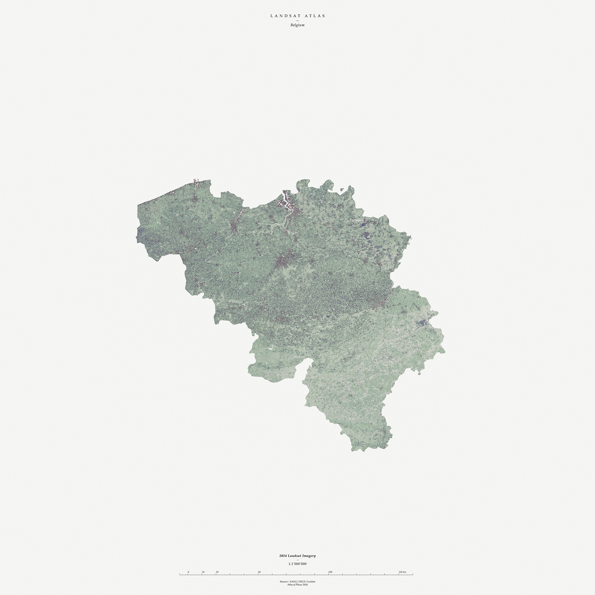
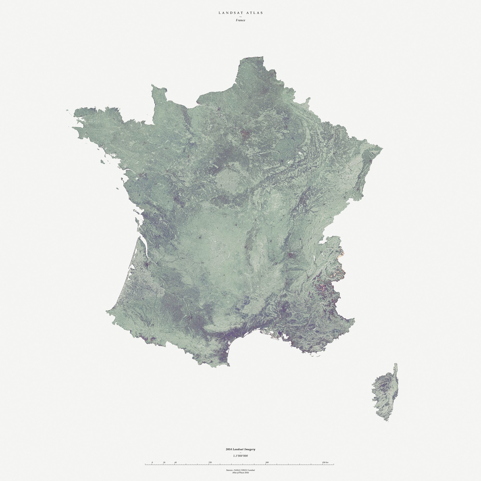

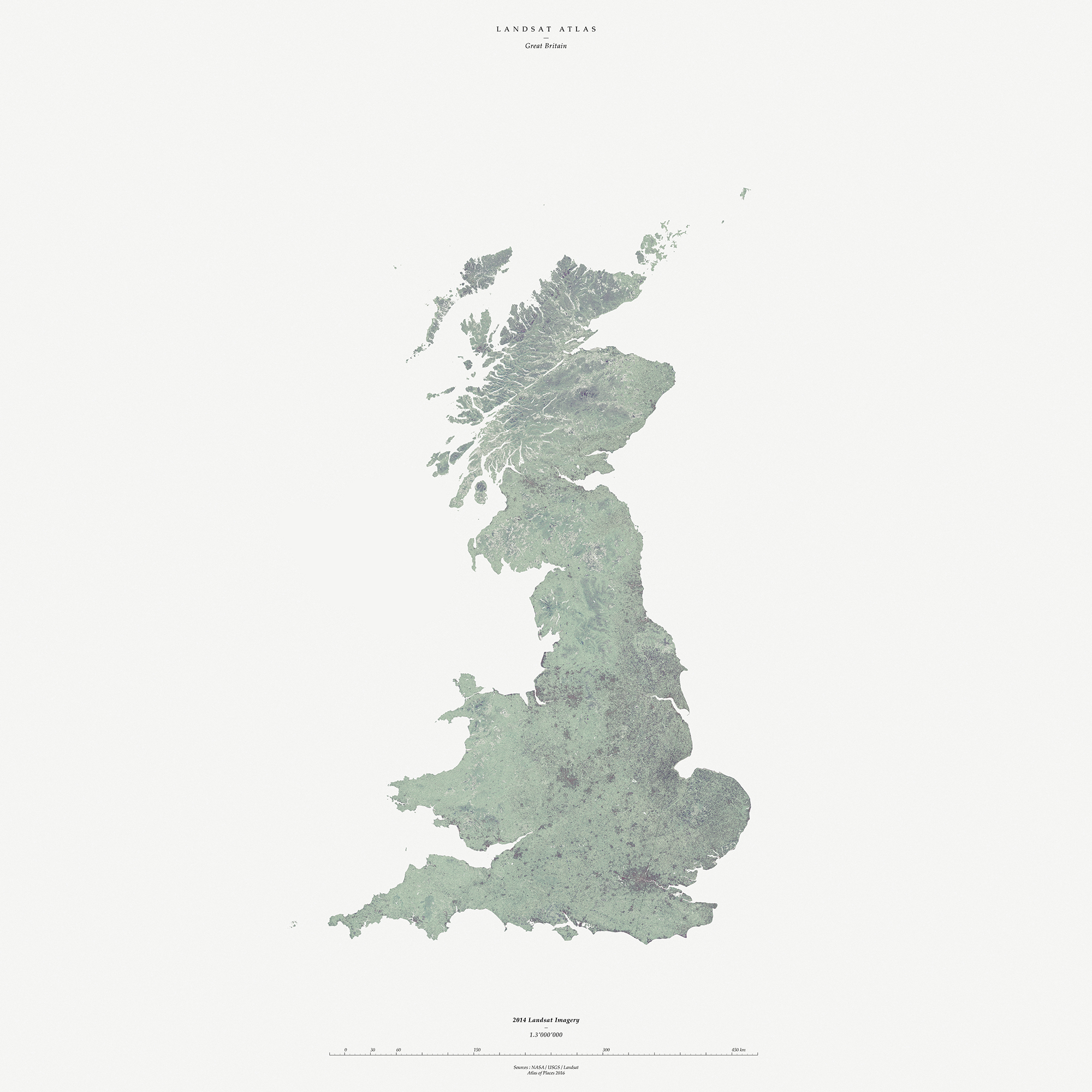
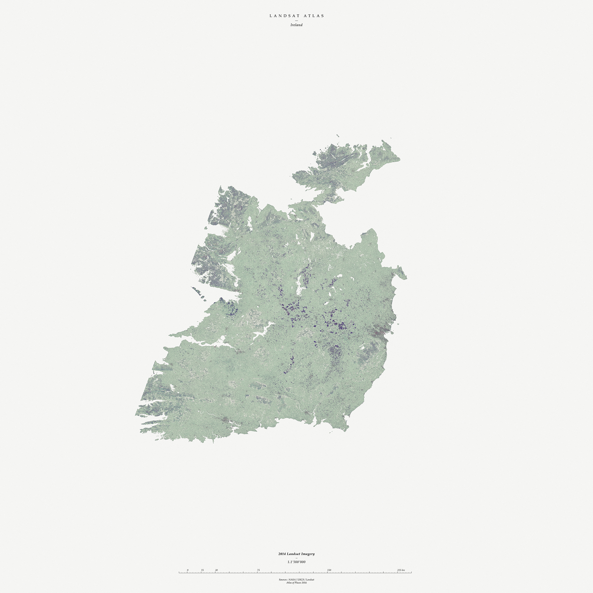


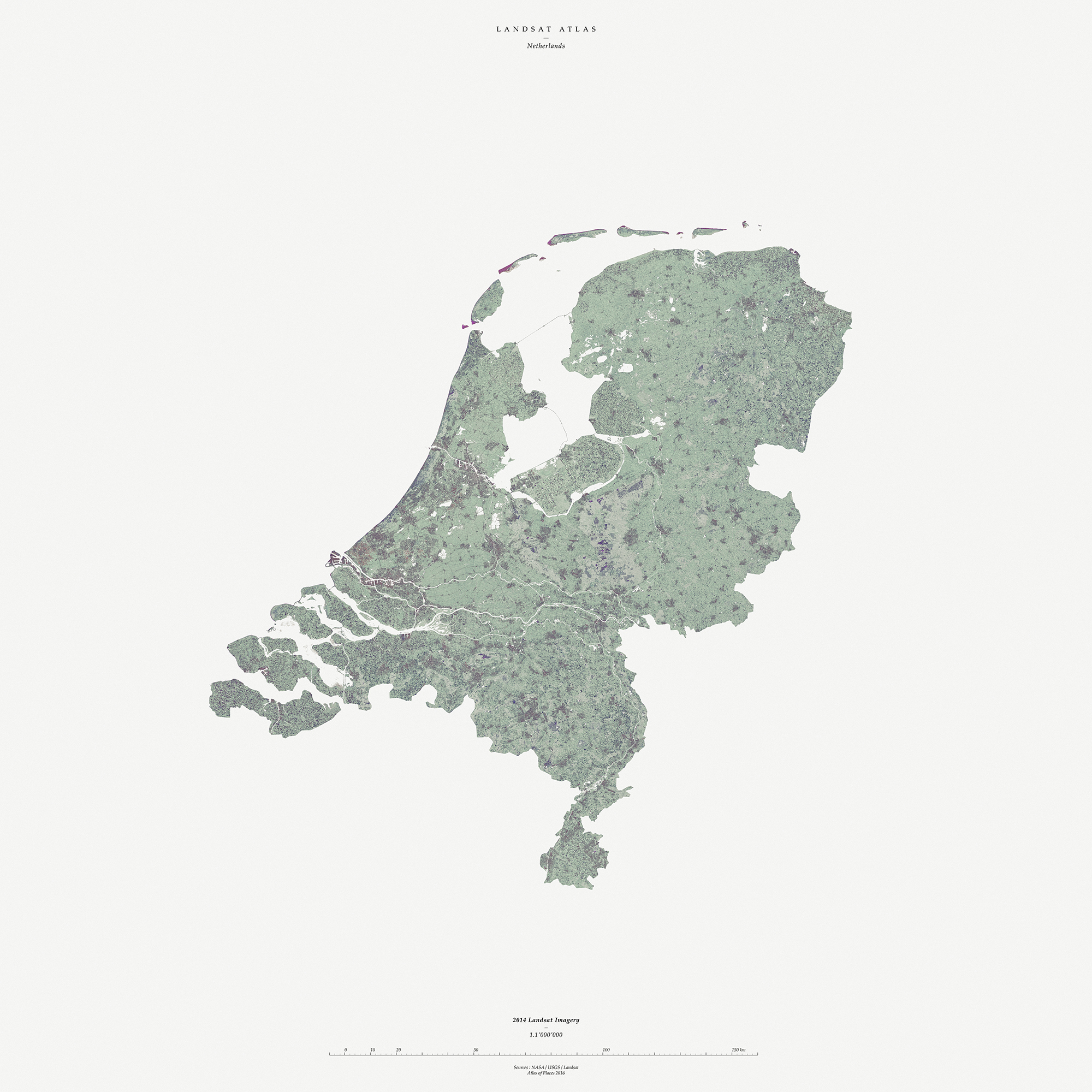

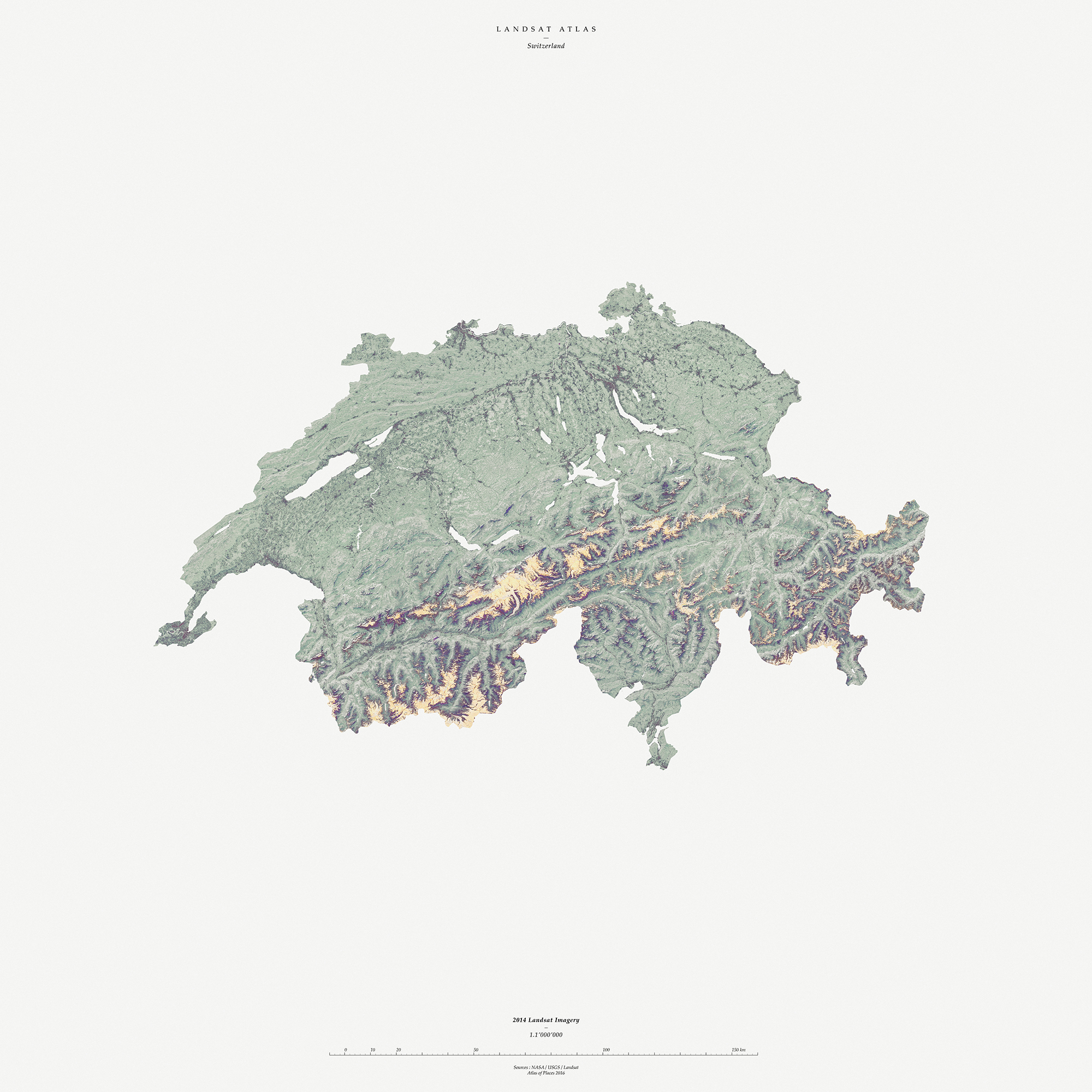

Projection: WGS84
Excerpt: Antoine de Saint-Exupéry, Le Petit Prince, 1943
Text: Denis Cosgrove, Mappings, 1999
Publié: Janvier 2020
Catégorie: Observation