Muriz Djurdjevic & Thomas Paturet
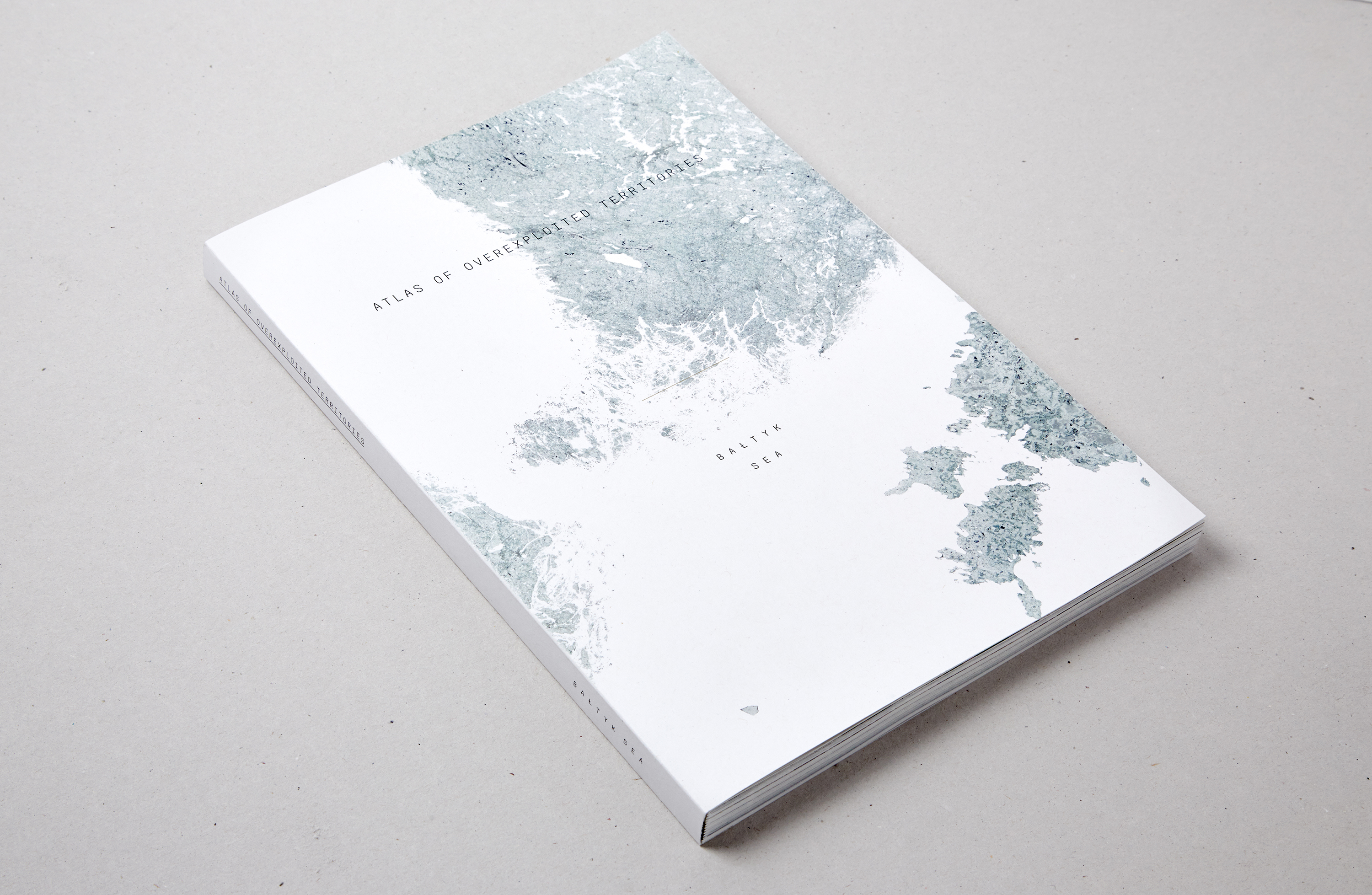
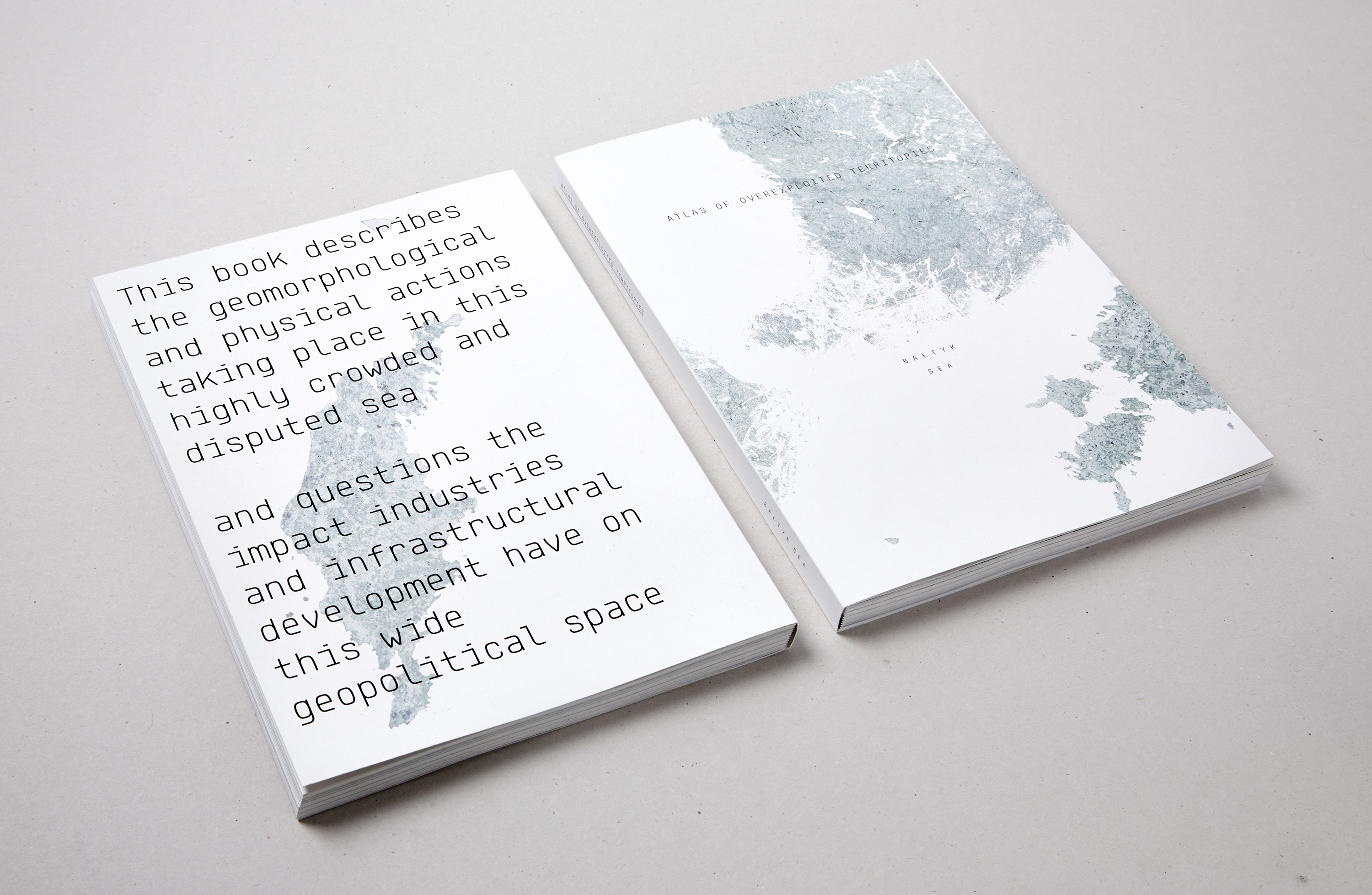
Atlas of Overexploited Territories - Baltic Sea
2015
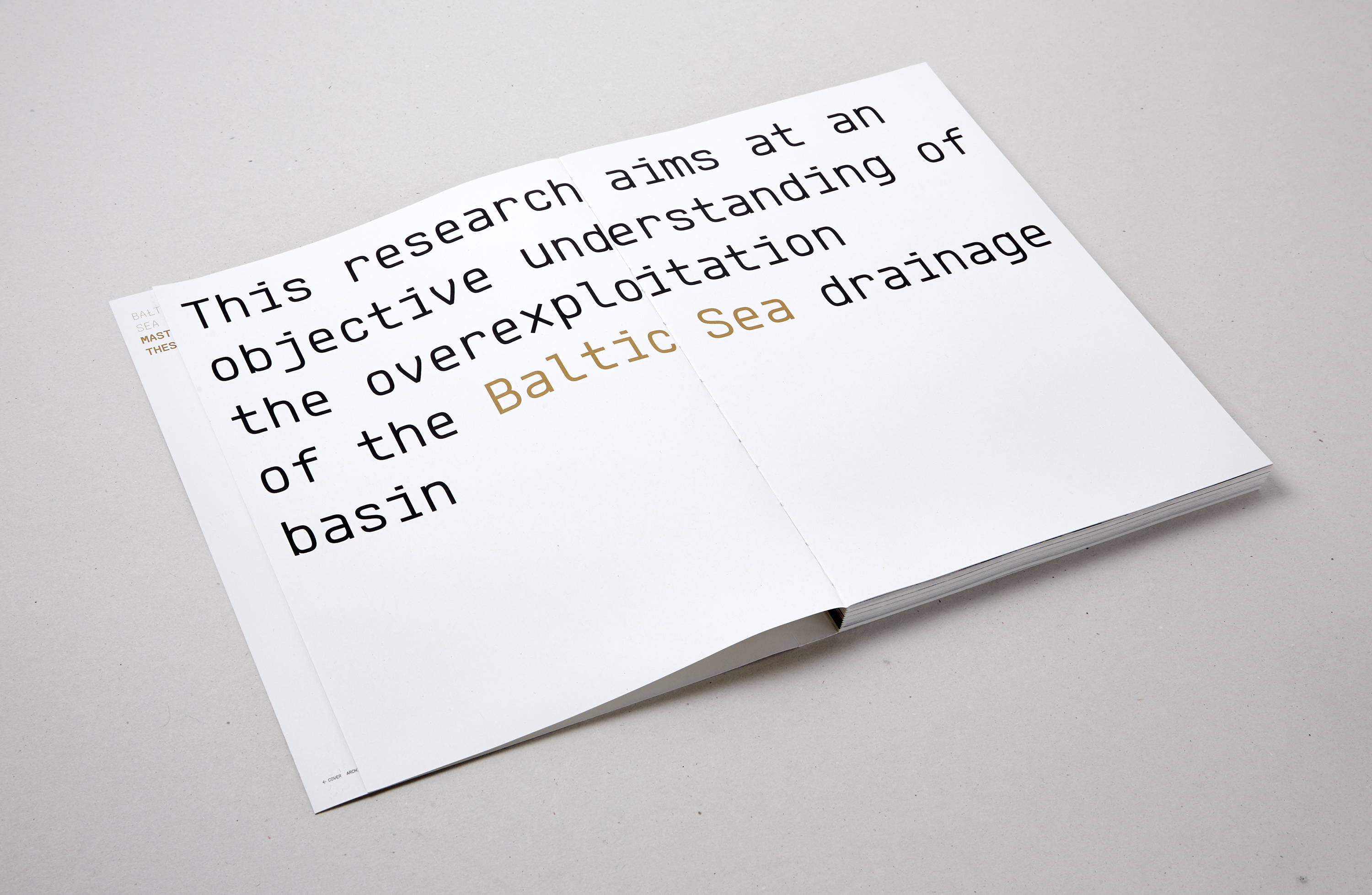
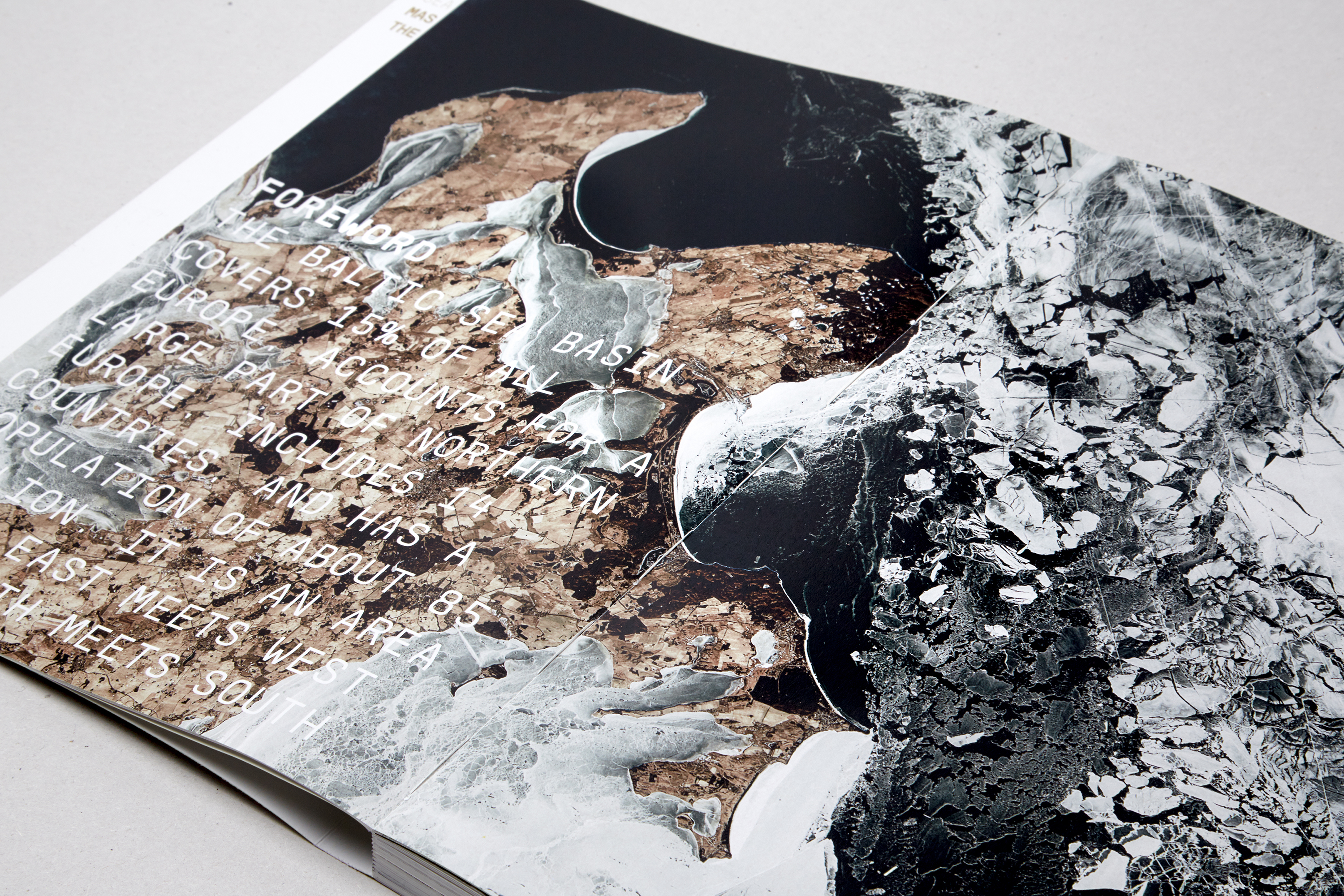
As second year master students at the EPFL we were asked to produce an “énoncé théorique”: a theoretical research, exploring a subject that we deemed interesting and relevant to introduce our next semester’s project. We chose to study the Baltic Sea through a selection of various climatical, geological, social and political topics. The book pictured in the photography below is the result of this 4 months research. The ‘énoncé’ goes into detail — through maps, diagrams, charts, etc. — searching for clues and patterns on what an overexploited territory looks like (different layers of interaction) and what planning such a territory would imply. This research aims at confronting the classical debates for and against the primacy of economy and employment, against the argument for maintaining landscapes and ecosystems intact.
Should we exploit or maintain? Also, parallel to this argument exists the discussion around the benefits for local versus national populations, global or European interests. What we noticed is that planning (whether it be on land or on sea) is never truly biased, regardless of the efforts by the concerned actors to provide neutrality. In the end, it amounts to a political process linked to a specific paradigm or logic. This book hopes to generate more ideas on how the exploitation of the Baltic Sea could be organised so humans can adequately manage and use the resources offered by the sea, today and in the future. Planning will become crucial in the Baltic Sea where user pressures are currently relatively manageable but are expected to witness a strong shift in the years to come.
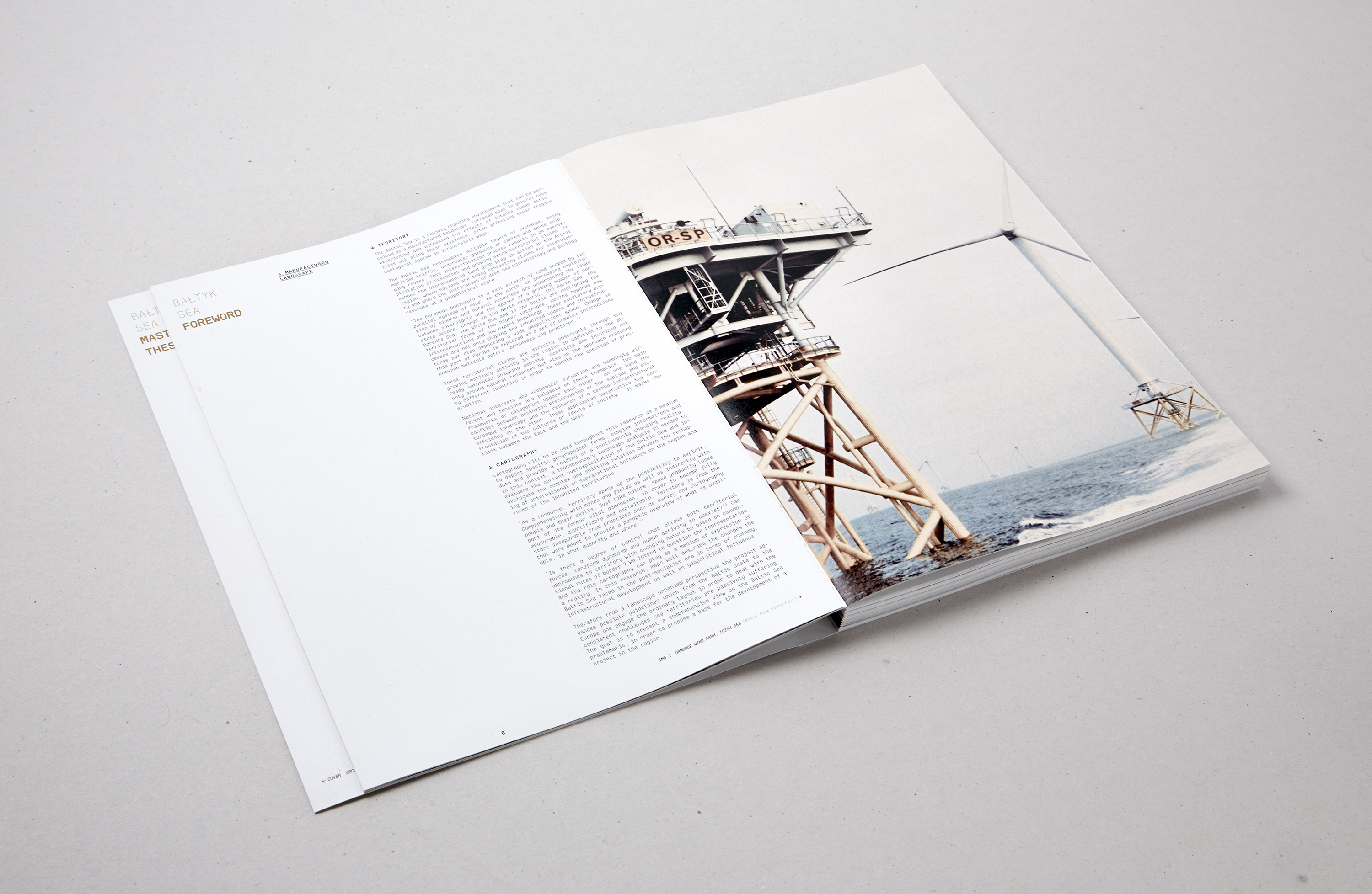
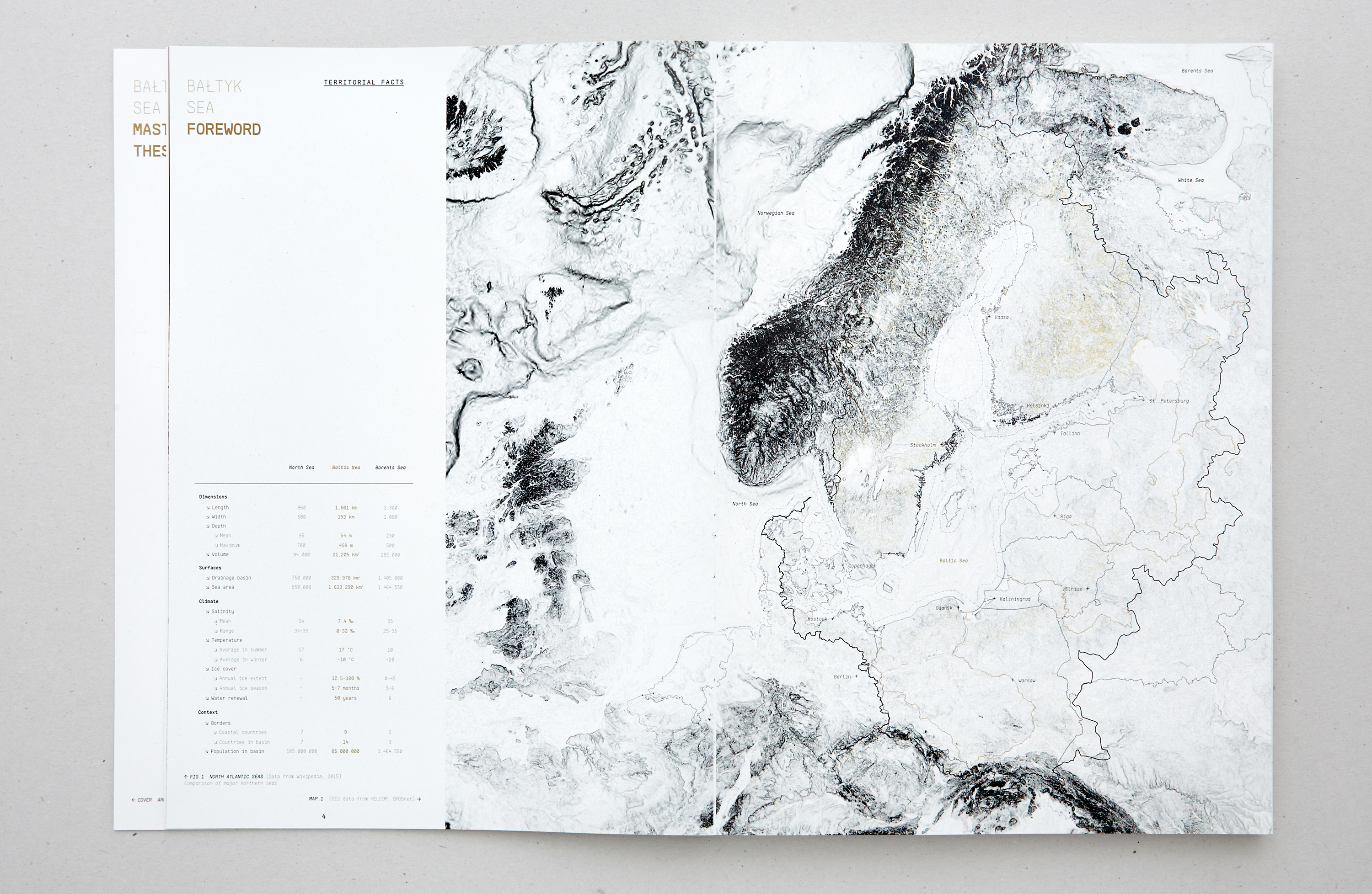
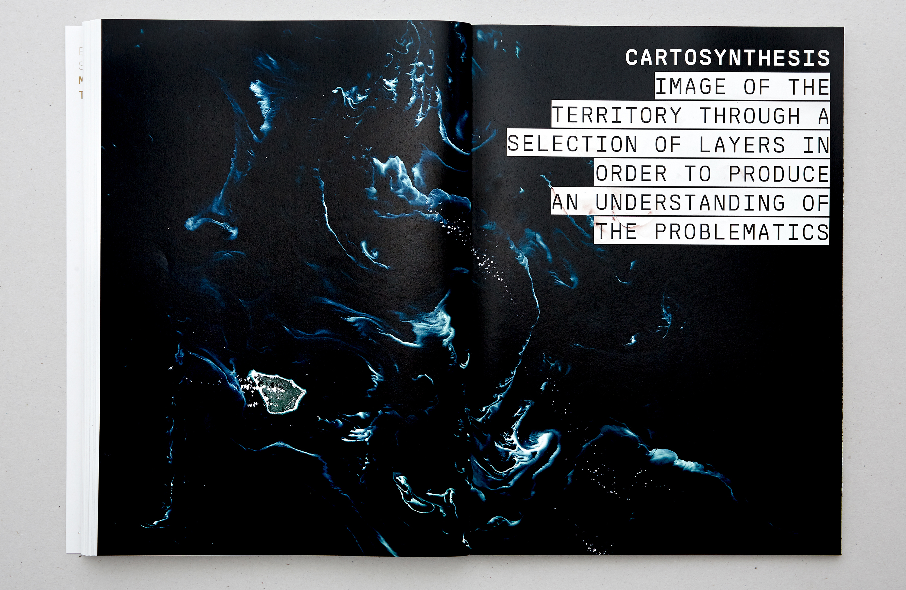
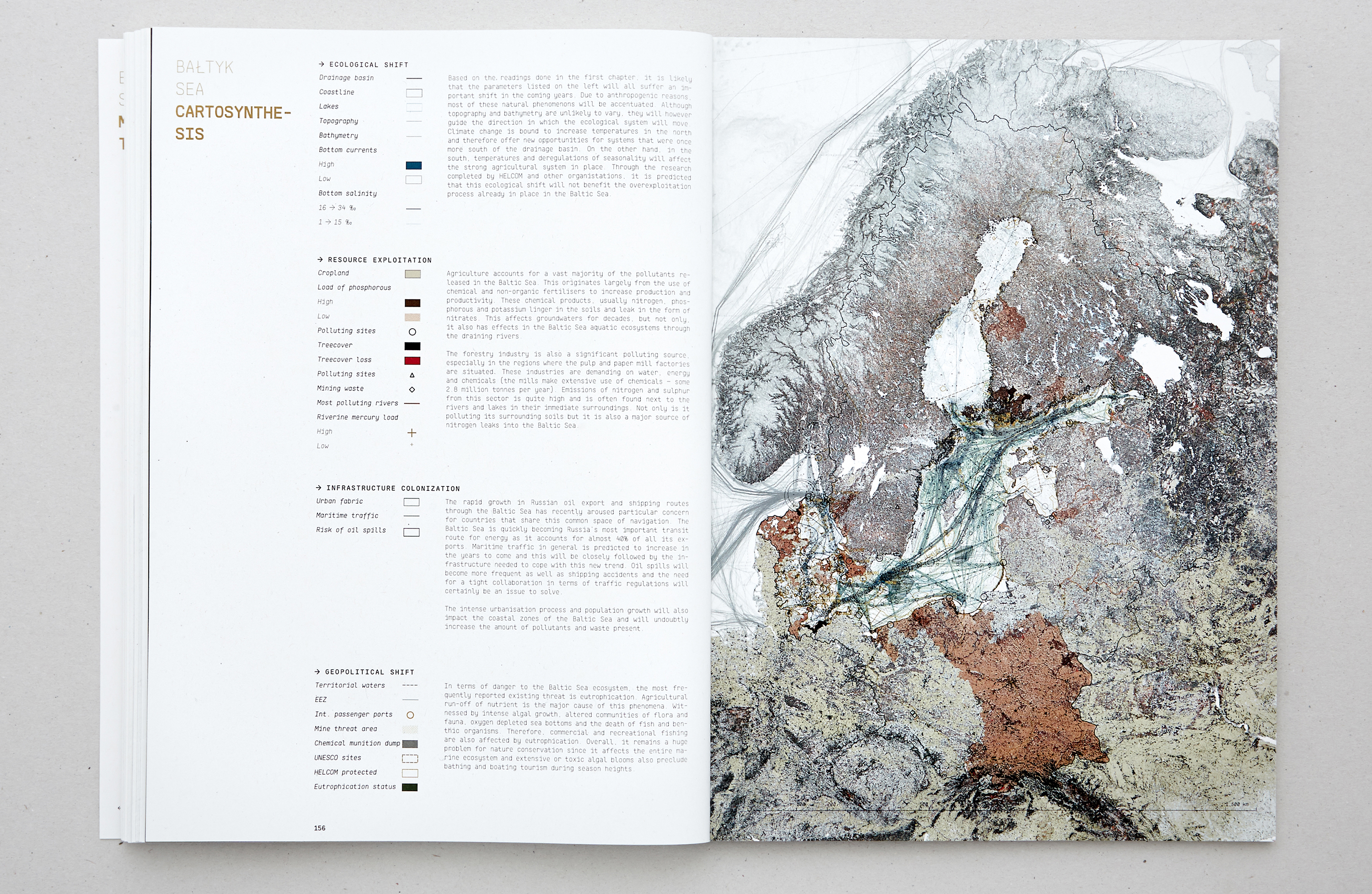
Cartography was used throughout this research as a medium to depict specific geographical forms, complex informations and data and provide a reading of a continuously changing reality. In this context, a transboundary landscape analysis was needed to evaluate the current overexploitation of the Baltic Sea and investigate the complex and shifting relation between the reshaping of international or supranational influence on the region and forms of the inhabited territories.

Lieu: Baltic Sea
University: École Polytechnique Fédérale de Lausanne
Semester: Énoncé Théorique
Teaching: Harry Gugger - Barbara Costa
Book Photography: Douglas Mandry
Exposed at La Biennale di Venezia 2016 - The Baltic Pavilion
Prix of the 3 Best Énoncés (IA) - EPFL
Publié: Novembre 2015
Catégorie: Observation