orthos logos
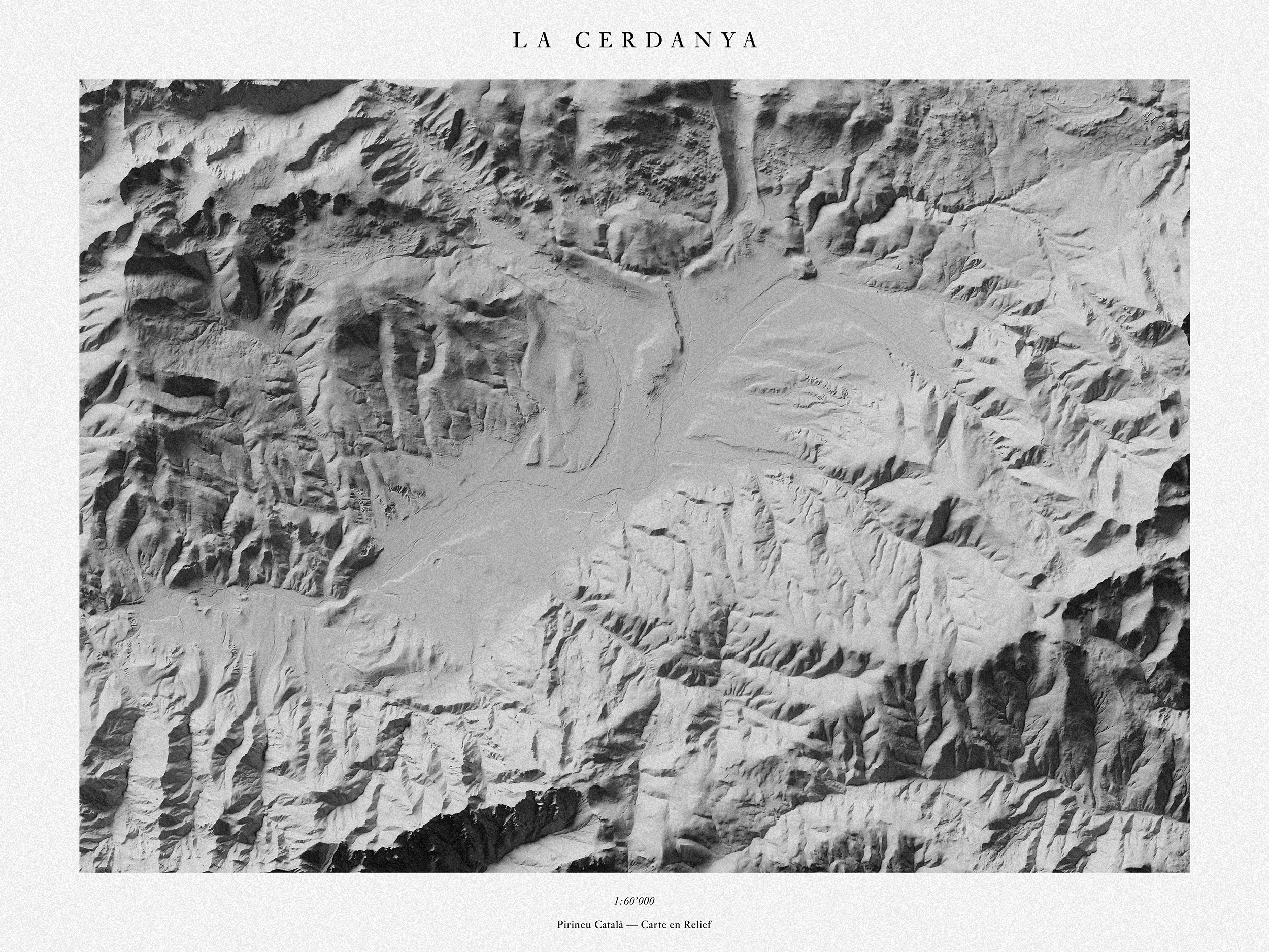
La Cerdanya
2019
La Cerdanya (Latin: Ceretani or Ceritania, French: Cerdagne, Spanish: Cerdaña), is a natural comarca and historical region of the eastern Pyrenees divided between France and Spain. Historically it was one of the counties of Catalonia. Cerdanya has a land area of 1,086 km² (419 sq mi), divided almost evenly between Spain (50.3%) and France (49.7%). In 2001 its population was approximately 26,500, of whom 53% lived on Spanish territory. Its population density is 24 residents per km² (63 per sq. mile). The only urban area in Cerdanya is the cross-border urban area of Puigcerdà-Bourg-Madame, which contained 10,900 inhabitants in 2001.
The area enjoys a high annual amount of sunshine – around 3,000 hours per year. For this reason, pioneering large-scale solar power projects have been built in several locations in French Cerdagne, including Font-Romeu-Odeillo-Via, the Themis plant near Targassonne, and Mont-Louis Solar Furnace in Mont-Louis. Despite the split between France and Spain, ties remain between families on both sides of the border, with frequent travel from one country to the other. During World War I, Cerdanya has been the place of an important smuggling trade in which horses and mules went from French to Spanish Cerdanya, before being sold to the French army and going back to France through the Le Perthus.
Lieu: Cerdanya
Scale: 1:60’000
Text: Wikipedia
Publié: Décembre 2019
Catégorie: Observation
Source